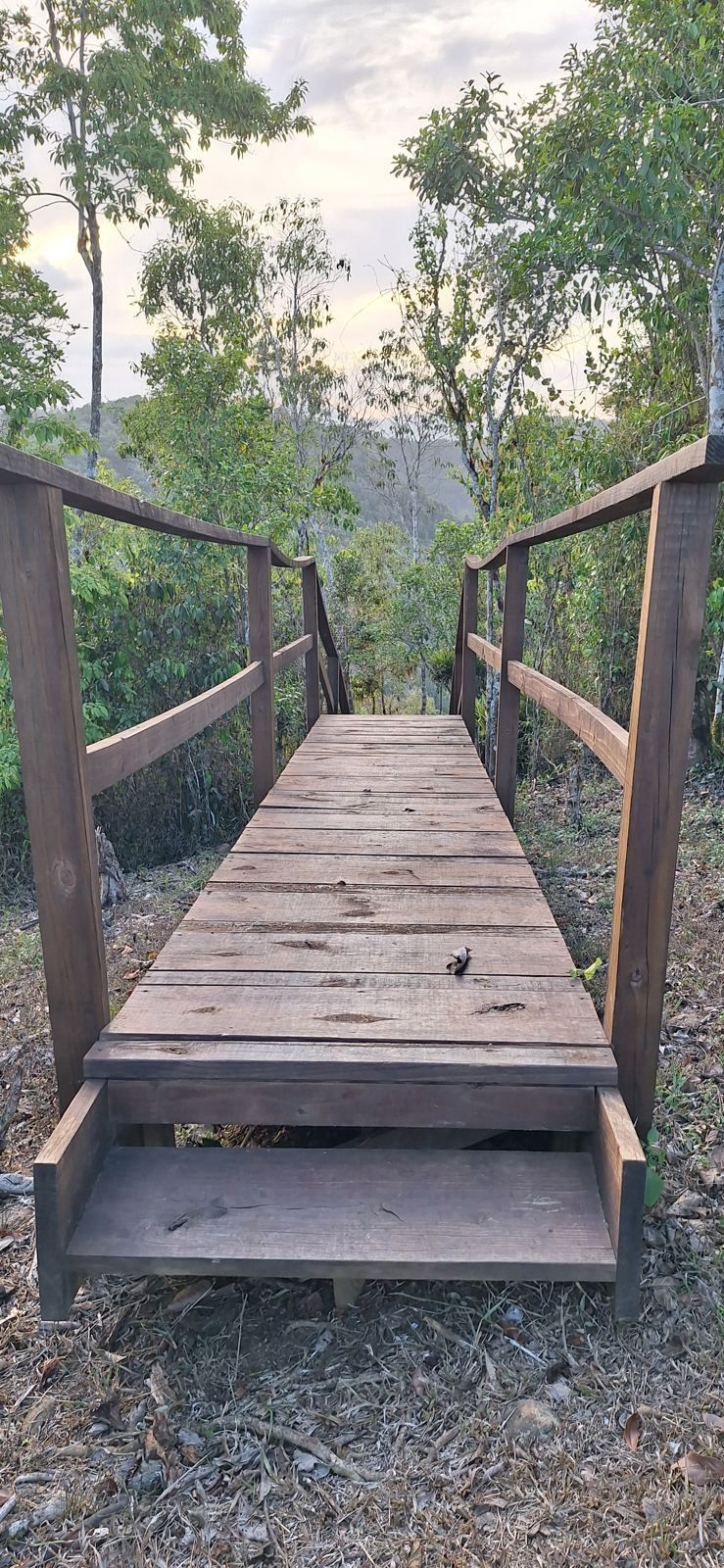
A weekend in the Cayey mountains is one of the easiest escapes from San Juan: an hour south on the expressway, ten to twenty degrees cooler, and built around three things Puerto Ricans have been driving up for decades. The spit-roasted pork of Guavate, the forest and swimming holes of Carite, and the overlooks along the Ruta Panorámica. This guide puts them together into a two-day plan, with the practical details on roads, timing and what to expect.
Getting there
From the San Juan metro area, take the Luis A. Ferré expressway (PR-52) south toward Caguas and Ponce. It is a toll road, so make sure your car has an AutoExpreso tag, which most rentals include. Exit 32 puts you on PR-184 toward Guavate. Cayey's town center is a few exits further along, and the Ruta Panorámica threads through the municipality on a series of smaller roads. Count on about an hour from San Juan to Guavate on a weekend morning, more if you leave after lunch on a Sunday, when half the island seems to be heading the same way.
Guavate and the lechoneras of PR-184
PR-184 is about 21 miles long and runs from the coast near Patillas up through the Carite forest to the expressway at Cayey. The stretch near the PR-52 interchange, in the barrio of Guavate, is lined with lechoneras: open-air restaurants built around whole pigs slow-roasted over wood until the skin turns to glass. It is the only road into the area, which is how it earned its English nickname, the Pork Highway. In Spanish it is simply la Ruta del Lechón.
The format is the same everywhere. You join a line at a counter, point at the cut you want, and choose sides from steam trays: rice with pigeon peas (arroz con gandules), boiled or fried green plantain, yuca, sweet potato, pasteles, blood sausage (morcilla) and spicy longaniza. Plates are inexpensive by San Juan standards. Seating is at long tables under open pavilions, and on weekends the larger places have live bands playing salsa and merengue, with dancing in the aisles by mid-afternoon.
A few names come up again and again. El Rancho Original, a sprawl of pavilions along the Río Guavate, is often described as the first lechonera on the road. Lechonera Los Pinos drew national attention after Anthony Bourdain filmed there in 2006. Lechonera Los Amigos is the first you reach coming off the expressway. Locals have strong loyalties, and the best approach is to walk the strip, ask for a taste of skin, and try more than one.
Carite State Forest and Charco Azul
Above Guavate, PR-184 climbs into the Carite State Forest, about 6,500 acres of montane forest spread across Cayey, Caguas, Guayama, Patillas and San Lorenzo. It was set aside by proclamation in 1935 and formally designated a state forest in 1975. The highest point, Cerro La Santa, reaches 2,962 feet. Carite Lake, a reservoir just outside the forest, shares its designation as an Important Bird Area.
Hurricanes Georges and María were hard on the forest's facilities. Many of its older trails fell out of maintenance, and the picnic area near Guavate was destroyed in 2017. The section that has stayed open is Charco Azul, on the Patillas side along PR-184, where a short trail leads to a clear, deep-blue pool fed by falls on the Patillas River, with picnic tables and restrooms nearby. Go early on weekends, bring water shoes, and check with the Department of Natural and Environmental Resources (DRNA) for current hours before making the drive.
The Guavate River, which runs beside PR-184, also has informal swimming spots that locals use after lunch. Use judgment after heavy rain, when mountain streams rise quickly.
Driving the Ruta Panorámica
The Ruta Panorámica, officially the Luis Muñoz Marín Scenic Route, is about 165 miles of mountain road strung together from roughly 40 numbered highways along the spine of the Cordillera Central, from Mayagüez in the west to the southeast coast. It was built in the early 1970s and finished in 1974. Nobody drives it end to end in an afternoon; the roads are narrow and the curves constant, and the pleasure is in short sections with stops at overlooks, fruit stands and roadside friquitines.
The Cayey section is one of the densest stretches of the route. It links the town to the ridgelines toward Aibonito in the west and to Guavate and the Carite forest in the east, passing through rural barrios such as Culebras Alto on the way. A good half-day loop runs west from Cayey along the route into Aibonito, then back via the old Carretera Central (PR-14), with views north over the La Plata valley and south toward the Caribbean on clear days.
Aibonito: overlooks, orchids and the Festival de las Flores
Aibonito, the neighboring town to the west, has the highest town plaza in Puerto Rico at 2,401 feet, and calls itself the Garden of Puerto Rico. Stops worth making:
- Mirador La Piedra Degetau, an overlook on the Ruta Panorámica with one of the widest views in the central mountains.
- Mirador La Plata, on PR-14 at kilometer 58.2, looking over the Valle de la Plata.
- Meyer Nurseries, a large orchid, bromeliad and flowering-plant grower open to visitors.
- Casa Museo Federico Degetau, the former home of Puerto Rico's first resident commissioner in Washington, open on Fridays and Saturdays.
If your weekend falls in late June or early July, time it for the Festival de las Flores, Aibonito's flower festival. The 2025 edition, the 55th, ran for ten days from June 27 to July 6, with growers selling orchids, bromeliads and fruit trees, landscaped garden competitions, live music and activities for children. Parking is free but fills early.
The Monumento al Jíbaro
On PR-52 near the Cayey and Salinas line, beside the island's only expressway rest area, stands the Monumento al Jíbaro Puertorriqueño, a monumental sculpture by Tomás Batista unveiled in 1976. It honors the jíbaro, the mountain farmer who is Puerto Rico's founding cultural figure, and it is a natural stop on the drive down to the south coast. Salinas and its seafood restaurants are another 20 minutes beyond it if you want fish for dinner after a day of pork.
A two-day plan
Day one. Leave San Juan by 9 a.m. Drive the Carite section of PR-184 first while it is cool, and swim at Charco Azul. Work back down to Guavate for a late lunch, walk the strip, and stay for the music. Spend the night in or near Cayey.
Day two. Coffee in Cayey town, then the Ruta Panorámica west toward Aibonito: Mirador La Piedra Degetau, an orchid nursery, lunch in Aibonito, and Mirador La Plata on the way back along PR-14. Return to San Juan before the Sunday evening traffic builds on PR-52, or continue south past the Monumento al Jíbaro to the coast.
Practical tips
- Timing. Guavate is busiest on Sunday afternoons. Arrive by late morning, or come on a weekday.
- Cash. Many lechoneras and roadside stands take cards now, but small vendors and parking attendants may not. Carry some cash.
- Weather. The mountains are cooler and wetter than the coast. Bring a light layer for the evening and a rain jacket, especially from May through November.
- Roads. Everything on this route is paved and passable in an ordinary car. Mountain roads are narrow and curved, so drive slowly and expect to meet trucks, horses and cyclists. Avoid the smallest roads during heavy rain.
- Fuel and signal. Fill up in Cayey or Aibonito before heading onto the back roads, where stations are sparse and cell coverage drops in the valleys.
Staying longer
Plenty of people who come for the weekend start asking what it would be like to live up here. The short answer is in our guide to living in Cayey, and the comparison with Aibonito, Barranquitas, Adjuntas and other mountain towns is in Puerto Rico's mountain second-home areas compared.
If you want somewhere of your own to come back to, the estate described on this site is about 25 minutes from Cayey's town center on PR-7722, near the Aibonito line: about 100 gated acres at roughly 2,100 feet, with a remodeled three-bedroom main house and long covered deck facing the valley, a second residence, two creeks, trails to a summit lookout, a 550-foot well and 12,000-gallon cistern, Starlink and A-G and B-Q zoning. It is for sale at $2,375,000, reduced from $2,500,000, on a furnished long-term lease at $15,000 per month, or as a lease with option to buy, and property tax runs about $990 a year (Stellar MLS PR9124119). See the photographs and details on the main page, and if you are planning a weekend in the area, ask about a private visit.
Frequently asked questions
Where is Guavate and how do I get there?
When is the best time to visit the Guavate lechoneras?
Is Charco Azul in Carite State Forest open?
How long is the Ruta Panorámica?
When is the Aibonito Festival de las Flores?
Do I need a four-wheel-drive vehicle for the mountain roads?
Sources and further reading
- For some of the best food in Puerto Rico, head to the Pork Highway, Afar, on the Guavate lechoneras.
- Puerto Rico Highway 184, AARoads, for the route, its length and the PR-52 interchange.
- Carite State Forest, Wikipedia, for area, history and the status of trails and recreation areas.
- Ruta Panorámica, Wikipedia, for length, history and the municipalities on the route.
- Everything you need to know about the Festival de las Flores in Aibonito, Platea PR.
- Seven unique places in Aibonito, Platea PR.
- Monumento al Jíbaro Puertorriqueño, Wikipedia.
Restaurant, forest and festival details change; confirm hours and openings with the businesses, the DRNA and event organizers before you travel. Information about the Cayey estate is provided by the owner and should be independently verified.